Victoria catastrophic fire danger day — urgent safety update
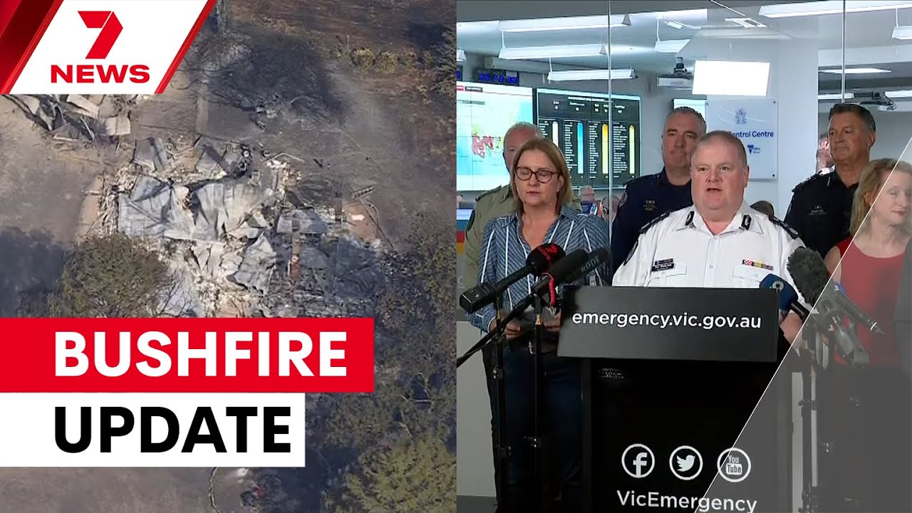
Table of Contents
- Emergency briefing: what happened, who is affected and what you must do now
- Where and when: the hotspots and the forecast
- What’s burning and known impacts
- Who is at risk and which communities are warned
- What authorities are saying and why leave now
- Practical safety steps — what to do right now
- Support, relief centres and payments
- What to expect next
- Quick checklist
- Resources
- FAQs
Emergency briefing: what happened, who is affected and what you must do now
Victoria catastrophic fire danger day has been declared as a severe heatwave collides with damaging winds and dry lightning across the state. Emergency services described conditions as "catastrophic" and "extreme" — meaning any fire that starts will be fast-moving, unpredictable and largely uncontrollable.
Multiple fires are burning across Victoria, with major incidents at Longwood (near Ruffie/Longwood East) and the Walwa–Mount Lawson complex in the north-east. Fire crews, interstate reinforcements and more than 70 aircraft have been deployed, though aircraft will be grounded at times because of the winds.
Where and when: the hotspots and the forecast
Today’s extreme weather is statewide. The Wimra, South West, North Country and North Central districts are rated catastrophic; the rest of Victoria is rated extreme. Temperatures are expected to reach up to 46°C in the north and about 43°C in Melbourne and southern areas, with strong north-westerly winds predicted to strengthen during the afternoon.
Dry lightning is forecast from about 2pm in central districts, increasing the risk of new ignitions. A statewide total fire ban remains in effect until at least midnight and may be extended depending on conditions.
What’s burning and known impacts
The Longwood fire has already caused residential and community property losses around the township of Ruffie, including damage to the community centre and telephone exchange. Aerial checks have confirmed multiple homes destroyed; ground access remains dangerous so exact numbers are not yet available.
In the Walwa–Mount Lawson fire, about 1,200–1,600 hectares of mature pine plantation have been lost so far; the fire footprint is approaching 20,000 hectares and continues to grow. At least one Gippsland complex of fires was ignited by overnight lightning strikes — firefighters are prioritising the Dargo–Talbotville ignition among a number of new starts.
Who is at risk and which communities are warned
Emergency warnings and Watch and Act messages are in place for the Longwood and Walwa fires. Communities inside the published potential impact zone maps must take action immediately.
Communities advised for the Longwood potential impact zone include (not exhaustive): Alexandra, Molesworth, Cathkin, Merton, Longwood East, Old Longwood and towns along the Hume Highway in the warned area. For Walwa, the impact zone includes Mount Alfred, Alfred Gap, Colac-Colac, Granya and surrounding communities. Check the VicEmergency site for live maps and watch zones.
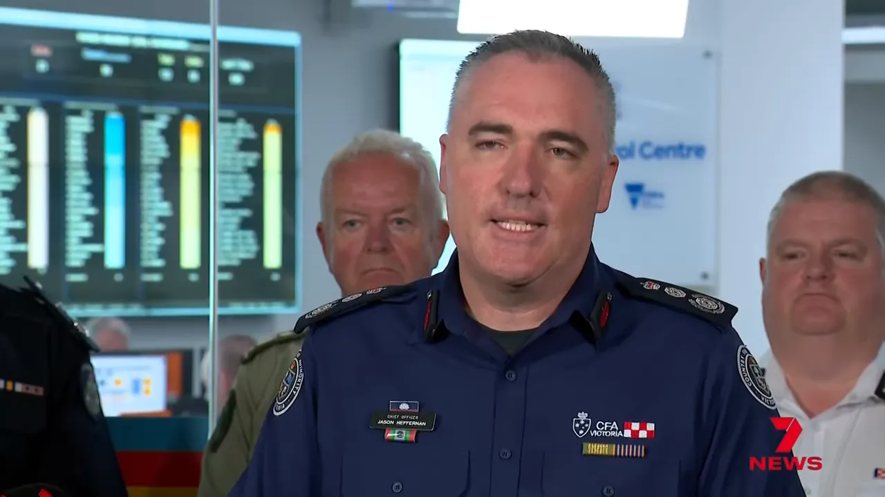
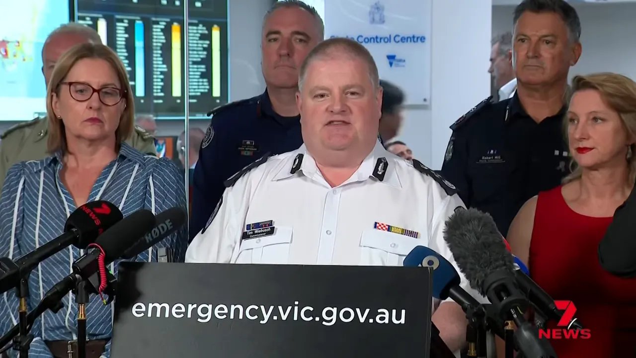
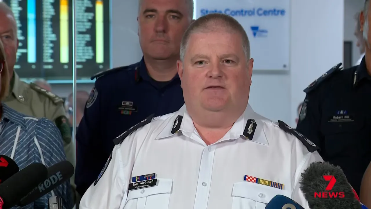
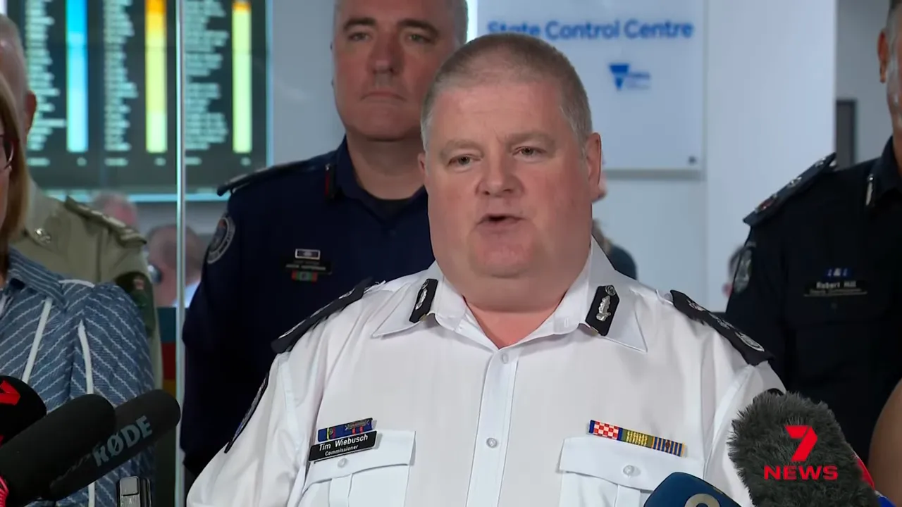
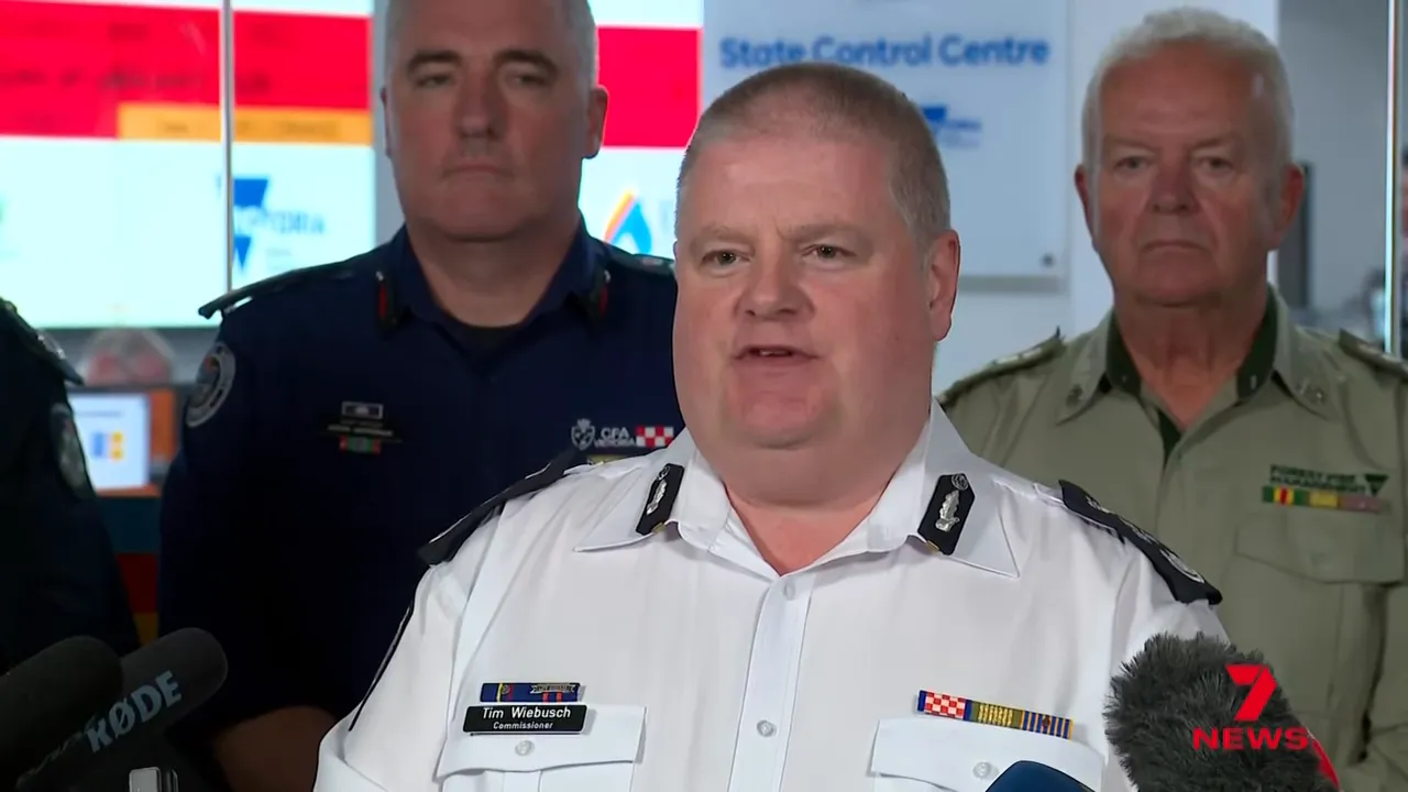
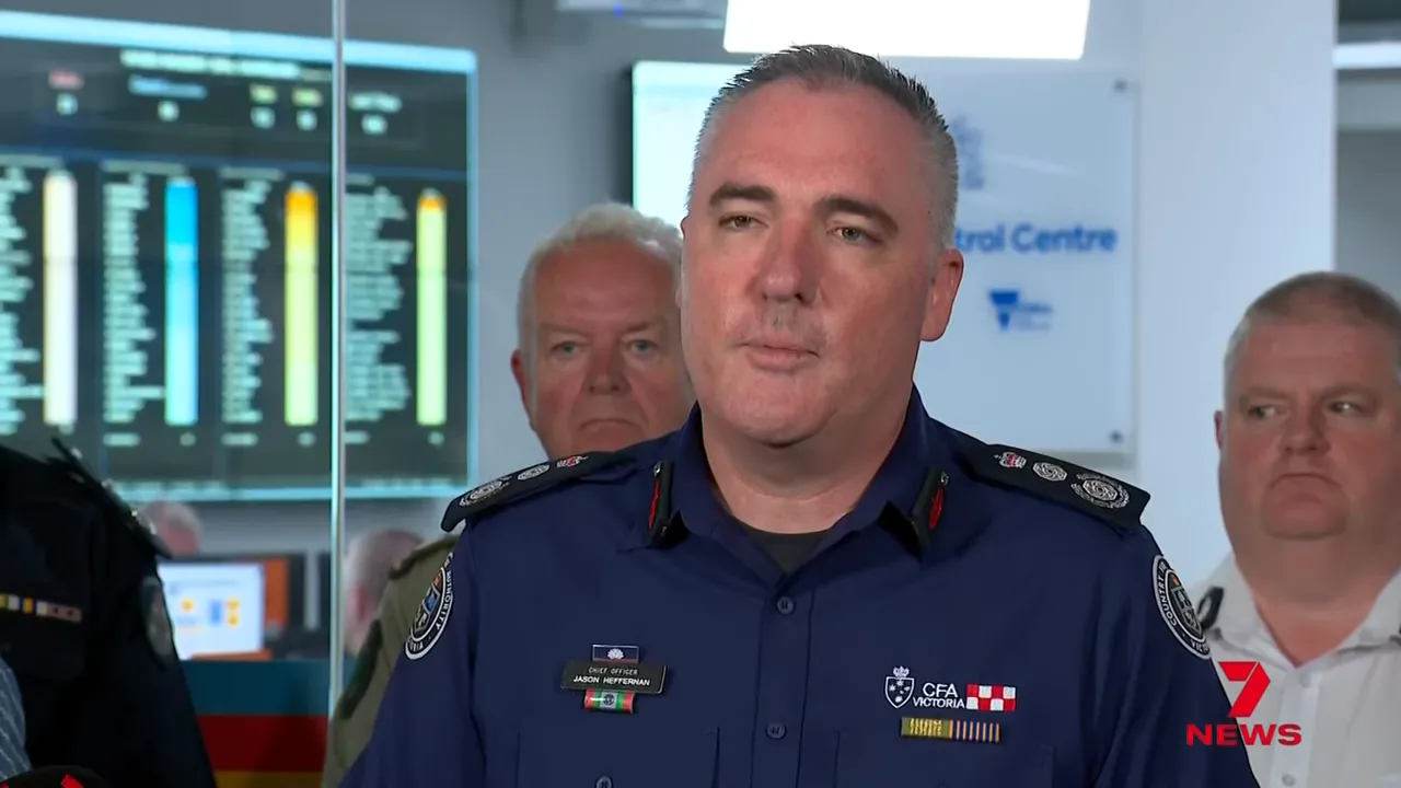
What authorities are saying and why leave now
Emergency leaders were blunt: if you are in a bushfire-prone area and have been told to leave, leave now if it is safe to do so. Staying to defend on a catastrophic day is likely to be fatal and also places emergency services at risk.
Victoria Police reported teams have been door-knocking, running community briefings (more than 200 people attended one meeting in Seymour) and supporting evacuations. Interstate crews from NSW have been deployed and more personnel have been requested.
Practical safety steps — what to do right now
- Leave now if you have been advised and it is safe to do so. Don’t wait for conditions to worsen.
- Set a watch zone and keep the VicEmergency app open for warnings and the updated potential impact zone maps.
- Stay tuned to local radio and emergency broadcasters; have two sources of information available.
- If you are sheltering, do not stay in the centre of the house — remain on the outside where you can see conditions and leave when it is safe.
- If you notice smouldering or strikes on your property after lightning, check carefully and call 000 if you find an active ember or fire.
- Avoid travelling through bushland and allow emergency services to move freely.
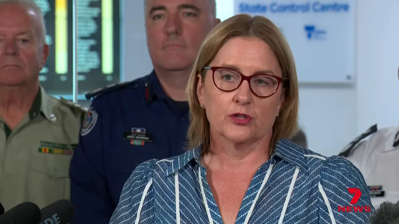
Support, relief centres and payments
Relief centres are open for people and animals; Seymour has been named as a primary relief hub. The Commonwealth and Victorian Government have activated personal hardship payments; immediate assistance is available at relief centres and via emergency services.
Those trying to locate unaccounted people should use the national register and reunite platform — authorities are using it to help match information and check welfare.
What to expect next
Conditions will remain dynamic. Expect more strong winds and the potential for fires to change direction rapidly. Fire services will continue to update potential impact maps and escalate warnings where necessary. If you are in an area with an advice or Watch and Act message, treat it seriously — those levels are not "less important".
Quick checklist
- Have you left if told to do so? If not, leave now if safe.
- Do you have the VicEmergency app and a charged phone?
- Are pets and livestock arranged for, or being moved to relief centres?
- Have you told family and friends where you are? Use the register and reunite service if you cannot contact loved ones.
Resources
- VicEmergency app and website — live warnings and potential impact maps.
- 000 for immediate threats and fires on private property.
- Relief centres (Seymour and other local hubs) for shelter, supplies and hardship payments.
FAQs
What should I do right now if I live in a bushfire-prone area?
Leave now if authorities have advised you to do so and it is safe. If you cannot leave, shelter in a prepared location on the outside of your home where you can monitor external conditions and leave when safe. Keep the VicEmergency app open and listen to local radio.
Which areas are rated catastrophic or extreme today?
The Wimra, South West, North Country and North Central weather districts are rated catastrophic. The remainder of Victoria is rated extreme. Check the VicEmergency site for detailed maps and local warnings.
Have there been property losses?
Yes. Aerial checks around Ruffie/Longwood East have confirmed multiple properties and community infrastructure losses. Ground access is currently unsafe so damage assessments are ongoing.
Are relief payments available?
Personal hardship payments have been activated and are available now through relief centres such as Seymour. Emergency centre staff can provide details and assistance on arrival.
How can I check if someone is missing or safe?
If you cannot contact someone, use the national register and reunite service suggested by Victoria Police and advise local authorities. Police and relief centre staff are coordinating welfare checks and information matching.
When will conditions improve?
Weather and fire behaviour remain unpredictable today. Authorities will reassess total fire bans and warnings as conditions change — stay connected to official channels for live updates.
The information in this article has been adapted from mainstream news sources and video reports published on official channels. Watch the full video here Victoria faces catastrophic fire danger day | 7NEWS


