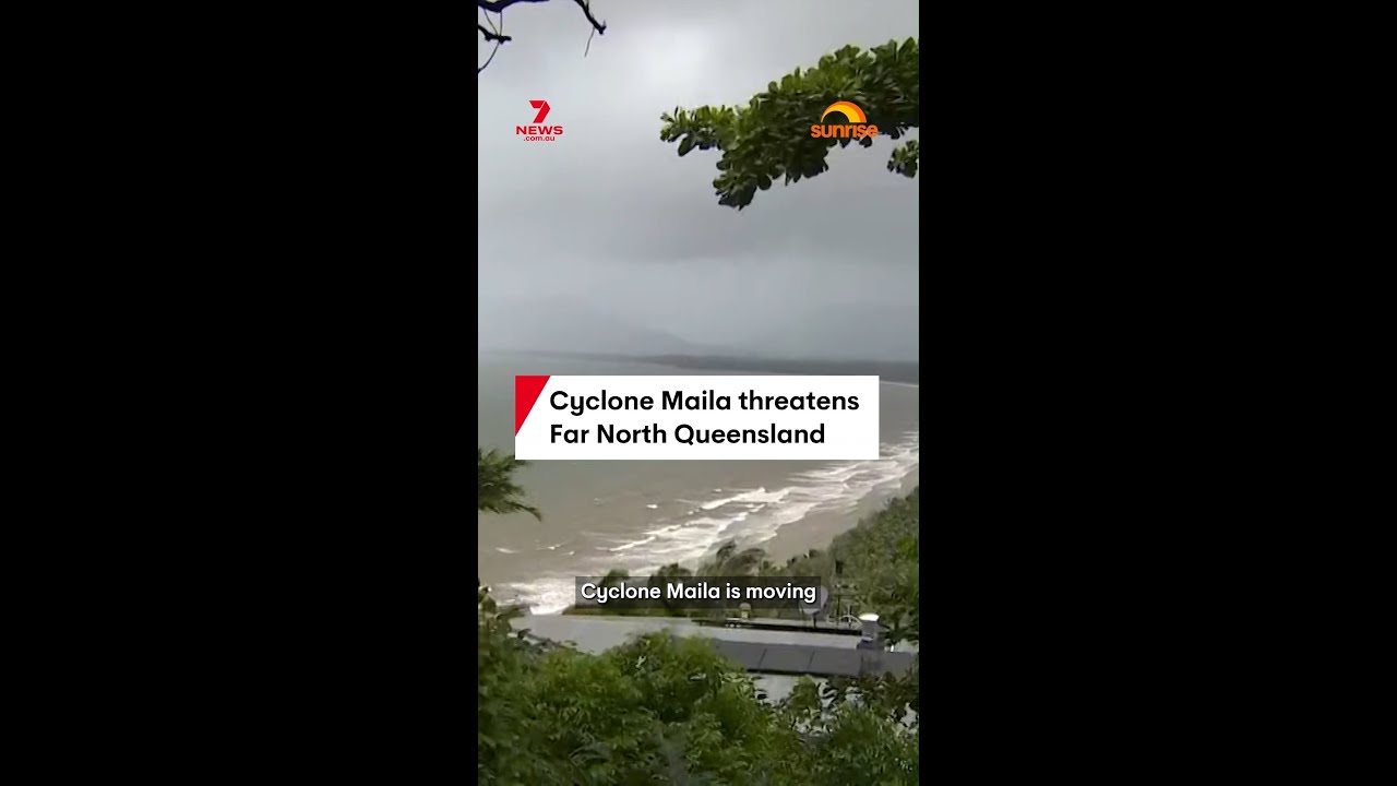
Cyclone Maila is intensifying off the north coast of Australia and moving towards far north Queensland, raising fresh concerns for communities that experienced Cyclone Norell just weeks earlier. The Bureau of Meteorology has warned that residents in Cape York could face the possibility of a direct hit if the system continues on its current path. With landfall expected in the Lockhart River region on Saturday, preparations should be made early, not at the last minute.
According to 7NEWS Australia, the severe tropical cyclone is tracking towards the far north Queensland coastline later this week, with impacts expected to ramp up as it nears landfall. The alert also reflects the potential for dangerous conditions even before the centre of the storm arrives.
Table of Contents
- Where Cyclone Maila is heading and why the track matters
- How strong Cyclone Maila is right now
- What communities along Cape York should prepare for
- Cyclone Norell’s recent impact makes this moment more urgent
- Live updates and official warnings are key
- Embed video
- FAQ
Where Cyclone Maila is heading and why the track matters
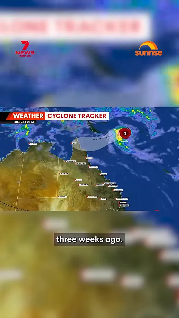
Severe Tropical Cyclone Maila is moving towards far north Queensland. It is expected to make landfall in the Lockhart River region on Saturday. At the moment, the system’s movement is described as following a similar path to Cyclone Norell, which struck the region about three weeks ago.
For Cape York residents, the main concern is that the cyclone’s track could bring it closer than many areas can comfortably absorb. The Bureau of Meteorology cautioned that people could take a direct hit if the system remains on its current trajectory. In cyclone events, that difference—between a near miss and a direct strike—can dramatically change wind, rain, and storm surge risks.

How strong Cyclone Maila is right now
The cyclone is currently strengthening just off the north coast. The Bureau of Meteorology says the system is producing sustained winds of around 130 km/h, with gusts up to 185 km/h.
Those figures are a reminder that cyclone hazards extend beyond the moment the storm makes landfall. Strong gusts can damage roofs, down trees, and create dangerous debris, while heavy rain and local flooding risks can also develop as conditions worsen.
The system is in the Solomon Sea, approximately 590 km west of Honiara and 820 km east of Port Moresby. Its position, combined with the forecast track, is what drives the timing and severity of conditions expected along the far north Queensland coast.
What communities along Cape York should prepare for
With the Bureau of Meteorology warning that Cape York residents could take a direct hit, households across the region should focus on readiness rather than waiting for further updates. Saturday landfall in the Lockhart River region suggests that conditions may deteriorate over a short window as the cyclone approaches.
When a cyclone is forecast to affect a specific region, preparation is about reducing risk across multiple hazards—wind, flying debris, power interruptions, and heavy rainfall—rather than just one element of the storm.
Cyclone Norell’s recent impact makes this moment more urgent
The fact that Cyclone Maila is moving on a path similar to Cyclone Norell adds urgency. Cyclone Norell hit the region about three weeks ago, meaning some communities may still be dealing with recovery issues or vulnerable infrastructure and local preparedness gaps.
Previous cyclone activity can also change how quickly people can respond—especially if debris removal, repairs, or restoration work is still ongoing. Even when the next storm is not identical, overlapping exposure can make the potential consequences feel more immediate.
Live updates and official warnings are key
Forecast tracks can change, but the Bureau’s caution is clear: if the cyclone continues on its current path, a direct hit is possible for Cape York. That kind of message is designed to prompt timely action—monitoring updates and following official guidance.
As the system progresses, communities should keep an eye on updates about track changes, timing of expected impacts, and local warnings specific to their area. In cyclone situations, the most important information is often the most local and the most up-to-date.
Embed video
FAQ
When is Cyclone Maila expected to make landfall?
Cyclone Maila is expected to make landfall in the Lockhart River region on Saturday.
What strength is Cyclone Maila forecast to be?
The Bureau of Meteorology reports sustained winds near 130 km/h, with gusts up to 185 km/h.
Which areas are most at risk?
Cape York communities are a key focus, with the Bureau warning they could take a direct hit if the cyclone continues on its current track.
How is Cyclone Maila moving?
It is travelling on a path described as similar to Cyclone Norell, which hit the region about three weeks earlier.
Where is the cyclone currently located?
It is in the Solomon Sea, about 590 km west of Honiara and 820 km east of Port Moresby.
The information in this article has been adapted from mainstream news sources and video reports published on official channels. Watch the full video here Cyclone Maila threatens Far North Queensland


