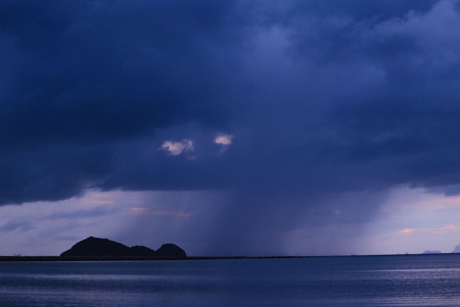
A powerful wild weather system has swept across eastern Australia on Sunday, delaying the final MotoGP round at Phillip Island, inundating parts of Melbourne, triggering flood warnings across Queensland and prompting urgent health alerts for people with asthma in Victoria's East Gippsland region.
MotoGP Racing Halted by Poor Visibility at Phillip Island
Sunday's racing at the 2026 Australian Motorcycle Grand Prix was pushed back to at least 4pm after heavy rain compromised the visibility needed to safely operate the event's medical helicopter. With the grand prix serving as MotoGP's swansong at the iconic circuit, the delay was a frustrating development for thousands of fans who had braved the wet conditions to attend.
In Melbourne, more than 22 millimetres of rain fell in the 12 hours to midday on Sunday, while the city's south-west recorded significantly heavier totals. Altona accumulated 40 millimetres across 24 hours as the cold front pushed through.
Bureau of Meteorology senior forecaster Michael Efron said the city's Sunday top of 19 degrees would feel far colder than it looked on paper. "It's going to feel a lot colder as we get into this afternoon as those winds pick up," he said. "It will be quite a shock to the system, compared to the conditions that we've seen over the last week with those temperatures pushing into the low 30s."
For more context on the broader pattern driving these extremes, see our earlier coverage of Victoria's wild week of weather explained.
Thunderstorm Asthma Alert for East Gippsland
Health authorities have placed East Gippsland on high alert for a thunderstorm asthma emergency, with a dangerous combination of high grass pollen counts, strong winds and thunderstorm activity forecast for the region on Sunday afternoon.
Acting chief health officer Dr Clare Looker urged people across the affected area to carry their reliever medication and stay indoors during wind gusts. She warned that even people who had never previously suffered from asthma could experience wheezing and shortness of breath if large volumes of pollen were swept into the air by storm activity.
"Asthma can become serious very quickly, so make sure you have your reliever medication with you and call Triple Zero if someone is struggling to breathe or their asthma is not improving," Dr Looker said. "The safest place to be during the strong wind gusts before and during a thunderstorm is indoors, with windows and doors closed."
A severe thunderstorm warning is in force for the state's north-east on Sunday afternoon, covering communities including Wodonga, Corryong, Bright, Falls Creek, Mount Hotham and Omeo, where damaging winds are expected.
Cold Week Ahead for Victoria Before Melbourne Cup Reprieve
Victorians should brace for a prolonged cold snap across the first half of the coming week, with temperatures forecast to sit three to six degrees below the seasonal average. Monday is expected to reach just 16 degrees in Melbourne as rain gradually eases, followed by 17 degrees on Tuesday.
The cold front will also deliver a rare spring snowfall across the Alpine region. Efron said there would be flurries at resorts such as Mount Baw Baw on Monday and Tuesday, and flagged the risk of small hail along the coast on Sunday night into the early hours of Monday.
"These cold conditions are quite a typical weather system for spring," Efron said. "It's when we do tend to see the largest swings between hot and cold weather for Victoria. Those really dramatic shifts in conditions are driven by the interior of the continent really heating up with the more intense sunlight at this time of year, whereas the oceans to our south are still quite cold."
The good news is that temperatures are forecast to recover significantly by late next week, with Melbourne expected to reach 25 degrees by Saturday. Reasonable spring conditions are anticipated for Melbourne Cup Day, offering relief after what has been a turbulent stretch.
Queensland and NSW Also in the Firing Line
Victoria is not the only state dealing with the fallout from the weather system. Queensland has been particularly hard hit, with rainfall totals of 100 to 200 millimetres recorded overnight in gauges inland of Bundaberg and Hervey Bay, and parts of the Mary River catchment receiving more than 300 millimetres over the past week. Some sections of the Sunshine Coast have recorded upwards of 400 millimetres.
The Mary River at Tiaro, north of Gympie, is rising rapidly and could reach major flood level. A Watch and Act alert is also in place for the Central Highlands around the Theresa Creek Dam catchment area. State Emergency Service volunteers in Brisbane completed 180 jobs in a single 24-hour period on Saturday.
Gympie Regional Council Mayor Glen Hartwig said the rivers had risen faster than anticipated. "There's water over roads everywhere, there's heavy downpours coming and going," he said, urging residents to stay home unless travel was essential.
Bureau of Meteorology forecasters warned Monday could bring the peak risk for south-east Queensland, with the possibility of large hail, damaging winds and heavy rainfall occurring simultaneously. Severe thunderstorms are also possible across a broad swathe of western New South Wales, the ACT, and parts of the east coast including Brisbane, the Gold Coast, Sydney and Wollongong.
Authorities across all affected states repeated the same key message: do not drive into floodwaters, stay indoors during storms, and monitor official warnings closely as the system continues to evolve.